
Precision from Above. Innovation on the Ground.
Helping homeowners, real estate professionals, builders, and businesses tell better stories through professional aerial imaging, photography, and geospatial technology.
Built on Service. Driven by Innovation.
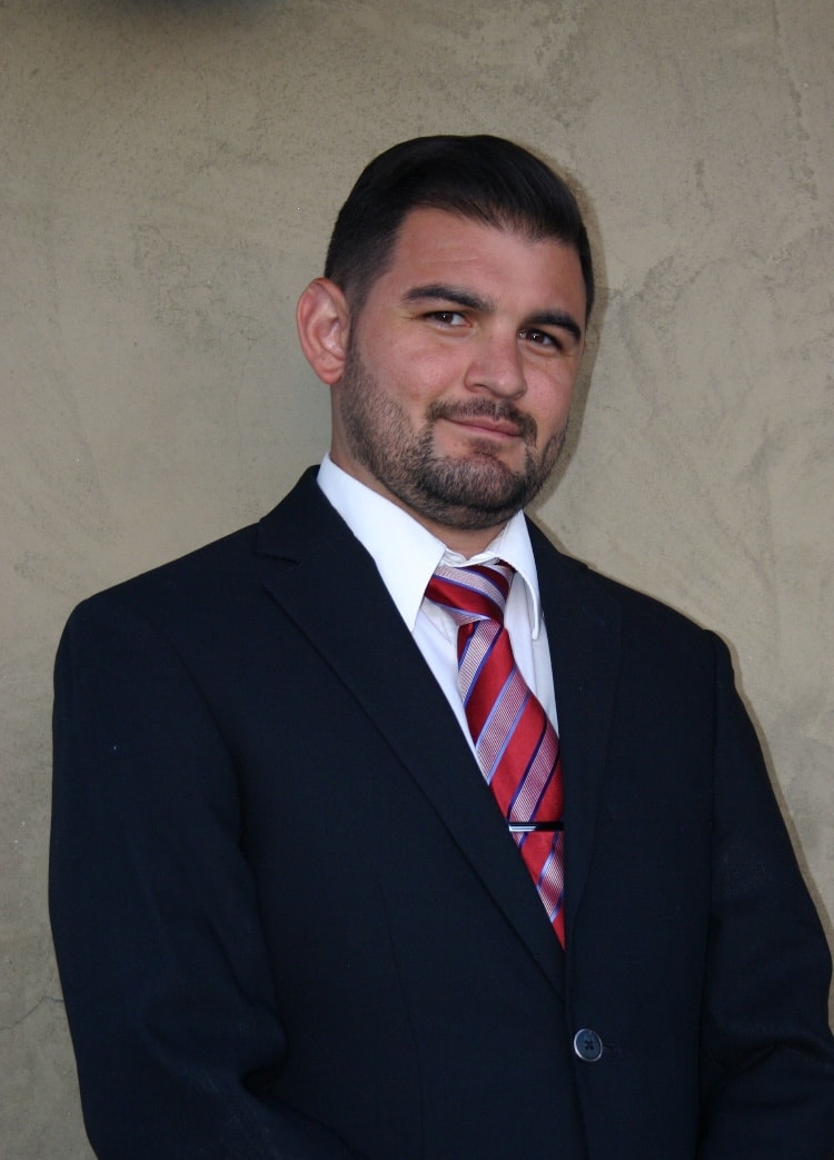
SkyPath Imaging was founded by Daniel Jauregui, a U.S. Navy veteran whose career has been defined by precision, discipline, and a passion for technology.
After serving in the Navy, Daniel gained experience in construction, robotics, home inspections, and manufacturing while continuing to expand his knowledge of emerging technologies. His work in robotics, property inspections, and unmanned systems inspired the creation of SkyPath Imaging — a company focused on combining creativity with advanced aerial technology to deliver exceptional results.
Today, Daniel is completing a Bachelor of Science in Unmanned and Autonomous Systems at Embry-Riddle Aeronautical University while continually expanding his expertise in photogrammetry, mapping, digital twins, and geospatial data collection.
SkyPath Imaging was created with a simple goal: provide clients with exceptional visual marketing today while building the foundation for the next generation of aerial mapping and digital visualization services.
To provide exceptional aerial imaging and visual marketing solutions through integrity, innovation, and precision while helping clients showcase properties, monitor projects, and make better decisions using advanced imaging technology.
To become one of Texas' leading providers of aerial imaging and geospatial solutions by combining cutting-edge drone technology, immersive 3D visualization, and data-driven mapping services.
As technology evolves, SkyPath Imaging will continue expanding beyond photography into digital twins, photogrammetry, construction documentation, infrastructure inspections, and advanced geospatial solutions for commercial clients.
Core Values
Integrity
Operate honestly, transparently, and professionally in everything we do.
Precision
Deliver accurate, consistent, high-quality work on every project.
Innovation
Embrace new technologies that create better outcomes for our clients.
Service
Treat every client and every project with respect and dedication.
Excellence
Never settle for average. Strive to exceed expectations every time.
Why Choose SkyPath Imaging

Where Creativity Meets Advanced Technology
SkyPath Imaging continually invests in training and equipment to stay at the forefront of the industry — combining creative vision with professional-grade aerial technology.
Building the Future of Aerial Imaging
SkyPath Imaging is focused on long-term growth by expanding into advanced geospatial technologies that support industries such as construction, commercial real estate, engineering, infrastructure, insurance, and land development. The goal is to become a trusted technology partner — not simply a photography provider.
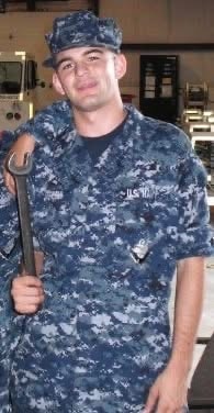
- U.S. Navy Veteran
- FAA Part 107 Certified Remote Pilot
- Bachelor of Business Administration
- BS Candidate — Unmanned & Autonomous Systems, Embry-Riddle Aeronautical University
- Experience in robotics, construction, home inspections, manufacturing, and aerial imaging
Every project tells a story. My mission is to help clients tell that story with precision, professionalism, and technology that creates lasting value.
— Daniel Jauregui
At SkyPath Imaging, we don't just capture images — we create perspectives. Every flight is an opportunity to help our clients see more clearly, market more effectively, and make better decisions. Our mission is to combine military discipline, technical expertise, and cutting-edge drone technology to deliver results that rise above expectations.
Ready to Work Together?
Whether you're marketing a home, documenting a construction project, or exploring advanced aerial solutions, SkyPath Imaging is ready to help you elevate your vision.